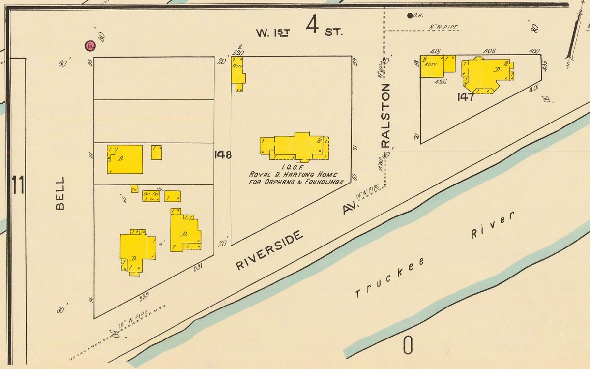
A Sanborn fire insurance map shows the layout of Riverside Drive in 1918, when the street continued east past Ralston Street to connect with West First Street. The triangle east of Ralston became Bicentennial Park in 1973 and the section of street to its south was closed. | Creator: Sanborn Fire Insurance Company | Date: 1918 | Source: U.S. Library of CongressDownload Original File