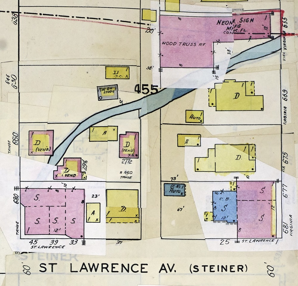
The 1949 Sanborn Fire Insurance map of the block shows the Carr House in yellow (signifying wood frame) on the right, just below the Cochran Irrigation Ditch that ran to its north. Depicted in pink, for brick, are a neon sign factory and commercial buildings on Virginia Street and St. Lawrence Avenue. | Creator: Sanborn Fire Insurance Company | Date: 1949 | Source: U.S. Library of CongressDownload Original File